
Thank you for supporting this site ❤️
Make a donation
Make a donation
Dumfries Parish topographic map
Click on the map to display elevation.
Thank you for supporting this site ❤️
Make a donation
Make a donation
About this map
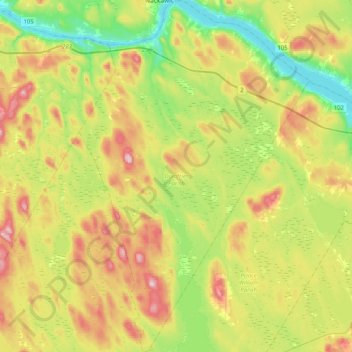
Name: Dumfries Parish topographic map, elevation, terrain.
Location: Dumfries Parish, York County, New Brunswick, Canada (45.70841 -67.33388 45.99127 -67.06825)
Average elevation: 147 m
Minimum elevation: 35 m
Maximum elevation: 311 m
Thank you for supporting this site ❤️
Make a donation
Make a donation
Other topographic maps
Click on a map to view its topography, its elevation and its terrain.