
Lichfield topographic map
Click on the map to display elevation.
About this map
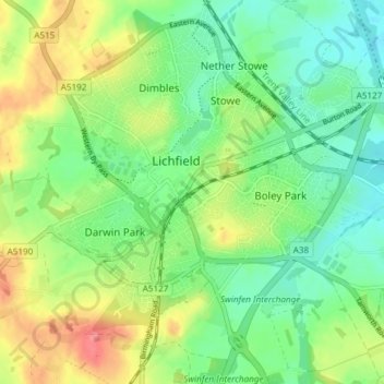
Name: Lichfield topographic map, elevation, terrain.
Location: Lichfield, Staffordshire, England, United Kingdom (52.65791 -1.86523 52.70326 -1.79271)
Average elevation: 91 m
Minimum elevation: 61 m
Maximum elevation: 140 m