
Thank you for supporting this site ❤️
Make a donation
Make a donation
St. Peter topographic map
Click on the map to display elevation.
Thank you for supporting this site ❤️
Make a donation
Make a donation
About this map
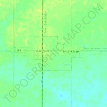
Name: St. Peter topographic map, elevation, terrain.
Location: St. Peter, Fayette County, Illinois, 62880, United States (38.86306 -88.86541 38.87173 -88.83236)
Average elevation: 179 m
Minimum elevation: 171 m
Maximum elevation: 185 m
Thank you for supporting this site ❤️
Make a donation
Make a donation
Other topographic maps
Click on a map to view its topography, its elevation and its terrain.