
el Castell de Guadalest topographic map
Interactive map
Click on the map to display elevation.
About this map
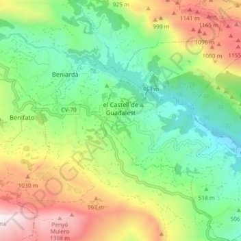
Name: el Castell de Guadalest topographic map, elevation, terrain.
Average elevation: 671 m
Minimum elevation: 228 m
Maximum elevation: 1,406 m