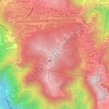
The Grove '55 topographic map
Interactive map
Click on the map to display elevation.
About this map
Name: The Grove '55 topographic map, elevation, terrain.
Average elevation: 1,253 m
Minimum elevation: 796 m
Maximum elevation: 1,440 m

Click on the map to display elevation.
Name: The Grove '55 topographic map, elevation, terrain.
Average elevation: 1,253 m
Minimum elevation: 796 m
Maximum elevation: 1,440 m