
Kente topographic map
Interactive map
Click on the map to display elevation.
About this map
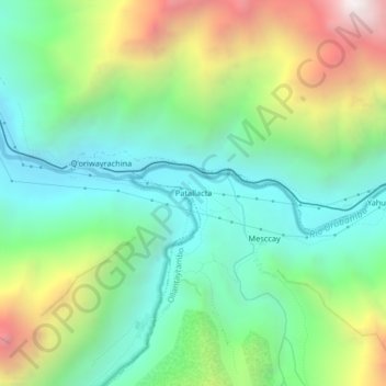
Name: Kente topographic map, elevation, terrain.
Location: Kente, Ollantaytambo, Urubamba, Cusco, Pérou (-13.24796 -72.44375 -13.20796 -72.40375)
Average elevation: 3,039 m
Minimum elevation: 2,456 m
Maximum elevation: 4,222 m