
Mark topographic map
Interactive map
Click on the map to display elevation.
About this map
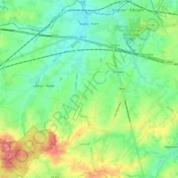
Name: Mark topographic map, elevation, terrain.
Location: Mark, Edingen, Aat, Henegouwen, Wallonië, België (50.63072 3.96127 50.69941 4.03828)
Average elevation: 69 m
Minimum elevation: 37 m
Maximum elevation: 130 m