
Stratham topographic map
Interactive map
Click on the map to display elevation.
About this map
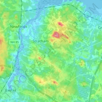
Name: Stratham topographic map, elevation, terrain.
Location: Stratham, Rockingham County, New Hampshire, 03885, USA (42.97109 -70.94251 43.05986 -70.85836)
Average elevation: 20 m
Minimum elevation: -10 m
Maximum elevation: 85 m