
山斜 topographic map
Interactive map
Click on the map to display elevation.
About this map
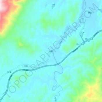
Name: 山斜 topographic map, elevation, terrain.
Location: 山斜, Chongren County, Fuzhou City, Jiangxi, PRC (27.46460 115.96531 27.54460 116.04531)
Average elevation: 219 m
Minimum elevation: 98 m
Maximum elevation: 930 m