
Green Haven topographic map
Interactive map
Click on the map to display elevation.
About this map
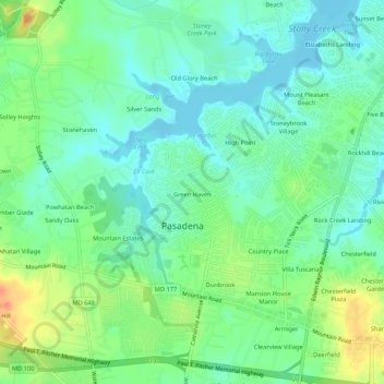
Name: Green Haven topographic map, elevation, terrain.
Location: Green Haven, Anne Arundel County, Maryland, USA (39.12364 -76.56751 39.15592 -76.51431)
Average elevation: 15 m
Minimum elevation: -2 m
Maximum elevation: 43 m