
Thank you for supporting this site ❤️
Make a donation
Make a donation
Bartha topographic map
Click on the map to display elevation.
Thank you for supporting this site ❤️
Make a donation
Make a donation
About this map
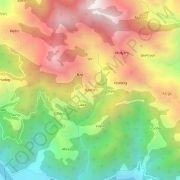
Name: Bartha topographic map, elevation, terrain.
Location: Bartha, Kamrau, Sirmaur, Himachal Pradesh, India (30.57271 77.54376 30.61271 77.58376)
Average elevation: 1,272 m
Minimum elevation: 556 m
Maximum elevation: 2,003 m
Thank you for supporting this site ❤️
Make a donation
Make a donation