
Sandane topographic map
Interactive map
Click on the map to display elevation.
About this map
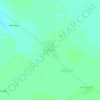
Name: Sandane topographic map, elevation, terrain.
Location: Sandane, Mandoul, Tschad (8.38685 17.57767 8.42685 17.61767)
Average elevation: 384 m
Minimum elevation: 380 m
Maximum elevation: 387 m