
Thank you for supporting this site ❤️
Make a donation
Make a donation
Goutroux topographic map
Click on the map to display elevation.
Thank you for supporting this site ❤️
Make a donation
Make a donation
About this map
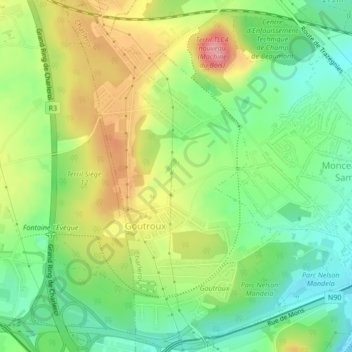
Name: Goutroux topographic map, elevation, terrain.
Location: Goutroux, Charleroi, Hainaut, Wallonie, 6030, Belgique (50.40321 4.34811 50.42985 4.37459)
Average elevation: 152 m
Minimum elevation: 106 m
Maximum elevation: 214 m
Thank you for supporting this site ❤️
Make a donation
Make a donation
Other topographic maps
Click on a map to view its topography, its elevation and its terrain.