
Alampur topographic map
Interactive map
Click on the map to display elevation.
About this map
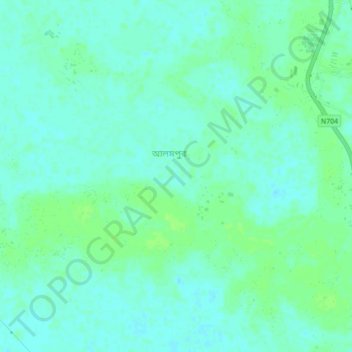
Name: Alampur topographic map, elevation, terrain.
Location: Alampur, Kushtia District, Khulna Division, Bangladesh (23.81639 89.06041 23.85639 89.10041)
Average elevation: 13 m
Minimum elevation: 8 m
Maximum elevation: 18 m