
Oratoio topographic map
Interactive map
Click on the map to display elevation.
About this map
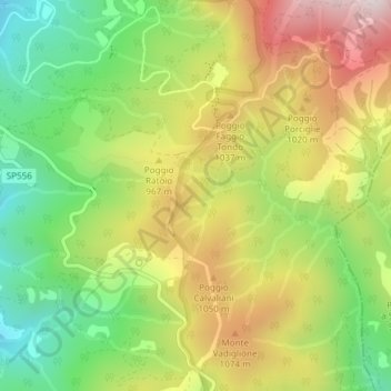
Name: Oratoio topographic map, elevation, terrain.
Location: Oratoio, Londa, FI, TOS, Itália (43.85222 11.62633 43.87222 11.64633)
Average elevation: 905 m
Minimum elevation: 589 m
Maximum elevation: 1,283 m