
Grassi topographic map
Interactive map
Click on the map to display elevation.
About this map
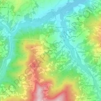
Name: Grassi topographic map, elevation, terrain.
Location: Grassi, PR, EMR, 43032, Itália (44.58554 9.71187 44.62554 9.75187)
Average elevation: 541 m
Minimum elevation: 381 m
Maximum elevation: 843 m