
Umingan topographic map
Interactive map
Click on the map to display elevation.
About this map
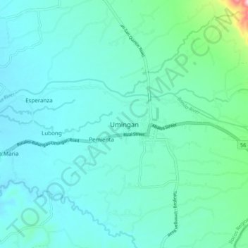
Name: Umingan topographic map, elevation, terrain.
Location: Umingan, Pangasinan, Ilocos Region, Philippines (15.88928 120.79349 15.96928 120.87349)
Average elevation: 109 m
Minimum elevation: 68 m
Maximum elevation: 357 m