
Nindje topographic map
Interactive map
Click on the map to display elevation.
About this map
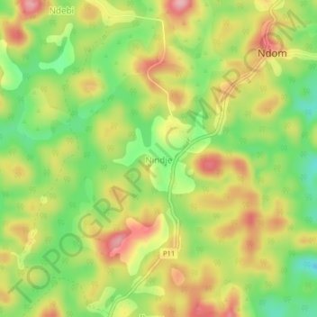
Name: Nindje topographic map, elevation, terrain.
Location: Nindje, Ndom, Sanaga-Maritime, Littoral, Cameroun (4.47467 10.80078 4.51467 10.84078)
Average elevation: 852 m
Minimum elevation: 773 m
Maximum elevation: 932 m