
Mount Tuminungan topographic map
Interactive map
Click on the map to display elevation.
About this map
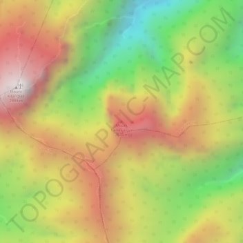
Name: Mount Tuminungan topographic map, elevation, terrain.
Average elevation: 2,352 m
Minimum elevation: 1,756 m
Maximum elevation: 2,850 m
Other topographic maps
Click on a map to view its topography, its elevation and its terrain.
Impasugong
Philippines > Bukidnon > Impasugong
Impasugong, Bukidnon, Northern Mindanao, Philippines
Average elevation: 613 m