
Pol. Ind. "Los Polvillares" topographic map
Interactive map
Click on the map to display elevation.
About this map
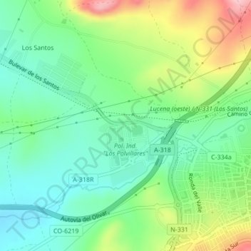
Name: Pol. Ind. "Los Polvillares" topographic map, elevation, terrain.
Average elevation: 464 m
Minimum elevation: 403 m
Maximum elevation: 583 m
Other topographic maps
Click on a map to view its topography, its elevation and its terrain.
Navas del Selpillar
Navas del Selpillar, Lucena, Córdoba, Andalucía, 14510, España
Average elevation: 370 m
Laguna de los Jarales
Laguna de los Jarales, A-3228, Lucena, Córdoba, Andalucía, España
Average elevation: 425 m