
Thank you for supporting this site ❤️
Make a donation
Make a donation
Owen Falls topographic map
Click on the map to display elevation.
Thank you for supporting this site ❤️
Make a donation
Make a donation
About this map
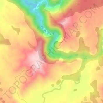
Name: Owen Falls topographic map, elevation, terrain.
Location: Owen Falls, Waitomo District, Waikato, New Zealand (-38.41674 175.38161 -38.41664 175.38171)
Average elevation: 414 m
Minimum elevation: 216 m
Maximum elevation: 540 m
Thank you for supporting this site ❤️
Make a donation
Make a donation
Other topographic maps
Click on a map to view its topography, its elevation and its terrain.