
Tandslet topographic map
Interactive map
Click on the map to display elevation.
About this map
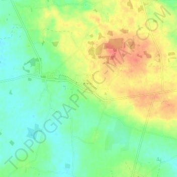
Name: Tandslet topographic map, elevation, terrain.
Location: Tandslet, Kommune Sonderburg, 6470, Dänemark (54.90395 9.96486 54.94395 10.00486)
Average elevation: 37 m
Minimum elevation: 17 m
Maximum elevation: 65 m