
Gamboa topographic map
Interactive map
Click on the map to display elevation.
About this map
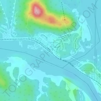
Name: Gamboa topographic map, elevation, terrain.
Location: Gamboa, Distrito Colón, Colón, Panamá (9.11559 -79.70125 9.11612 -79.70066)
Average elevation: 48 m
Minimum elevation: 18 m
Maximum elevation: 201 m
Other topographic maps
Click on a map to view its topography, its elevation and its terrain.
Parque Nacional Soberanía
Parque Nacional Soberanía, RUTA 842 - Pipeline Road - Camino del Oleoducto, Gamboa, Distrito Colón, Colón, 7338, Panamá
Average elevation: 90 m