
Iringa topographic map
Interactive map
Click on the map to display elevation.
About this map
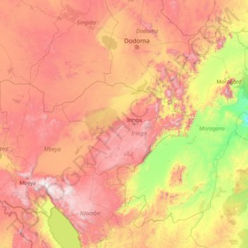
Name: Iringa topographic map, elevation, terrain.
Location: Iringa, Southern Highlands Zone, Tanzania (-10.33427 32.92263 -5.21427 38.04263)
Average elevation: 1,024 m
Minimum elevation: 54 m
Maximum elevation: 2,910 m
Other topographic maps
Click on a map to view its topography, its elevation and its terrain.