
Buch topographic map
Interactive map
Click on the map to display elevation.
About this map
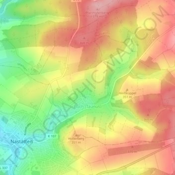
Name: Buch topographic map, elevation, terrain.
Location: Buch, Nastätten, Rhein-Lahn-Kreis, Rhénanie-Palatinat, Allemagne (50.19850 7.85953 50.21818 7.90656)
Average elevation: 329 m
Minimum elevation: 247 m
Maximum elevation: 393 m