
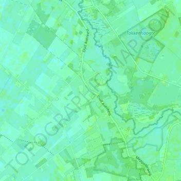
Oud-Avereest topographic map
Interactive map
Click on the map to display elevation.
About this map
Name: Oud-Avereest topographic map, elevation, terrain.
Average elevation: 5 m
Minimum elevation: 1 m
Maximum elevation: 9 m
Other topographic maps
Click on a map to view its topography, its elevation and its terrain.
Den Oosterhuis
Nederland > Overijssel > Balkbrug
Den Oosterhuis, Balkbrug, Hardenberg, Overijssel, Nederland, 7707 PD, Nederland
Average elevation: 6 m
De Haar
Nederland > Overijssel > Balkbrug
De Haar, Balkbrug, Hardenberg, Overijssel, Nederland, 7707 PN, Nederland
Average elevation: 5 m