
Galt topographic map
Interactive map
Click on the map to display elevation.
About this map
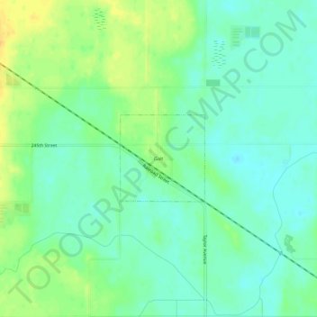
Name: Galt topographic map, elevation, terrain.
Location: Galt, Wright County, Iowa, 50101, United States of America (42.67358 -93.62535 42.71358 -93.58535)
Average elevation: 365 m
Minimum elevation: 354 m
Maximum elevation: 382 m