
Zumpango del Río topographic map
Interactive map
Click on the map to display elevation.
About this map
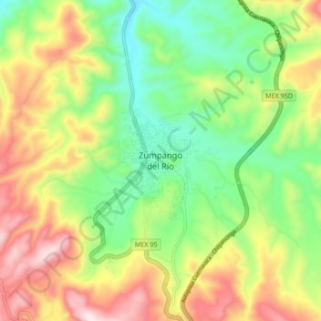
Name: Zumpango del Río topographic map, elevation, terrain.
Location: Zumpango del Río, Eduardo Neri, Guerrero, 40180, México (17.61040 -99.56636 17.69040 -99.48636)
Average elevation: 1,215 m
Minimum elevation: 953 m
Maximum elevation: 1,580 m