
Ulderup topographic map
Interactive map
Click on the map to display elevation.
About this map
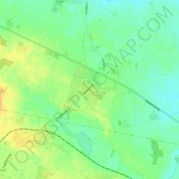
Name: Ulderup topographic map, elevation, terrain.
Location: Ulderup, Kommune Sonderburg, Region Süddänemark, Dänemark (54.96267 9.65377 54.97001 9.66859)
Average elevation: 32 m
Minimum elevation: 18 m
Maximum elevation: 49 m