Street topographic map
Interactive map
Click on the map to display elevation.
About this map
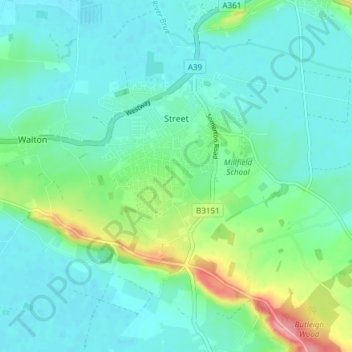
Name: Street topographic map, elevation, terrain.
Location: Street, Mendip, Somerset, England, United Kingdom (51.09533 -2.77202 51.14263 -2.71112)
Average elevation: 23 m
Minimum elevation: 0 m
Maximum elevation: 105 m
Other topographic maps
Click on a map to view its topography, its elevation and its terrain.
Norton St Philip
United Kingdom > England > Somerset > Mendip
Norton St Philip, Mendip, Somerset, South West England, England, United Kingdom
Average elevation: 90 m
Holcombe
United Kingdom > England > Somerset > Mendip
Holcombe, Mendip, Somerset, South West England, England, United Kingdom
Average elevation: 166 m