
Thank you for supporting this site ❤️
Make a donation
Make a donation
Cadeville topographic map
Click on the map to display elevation.
Thank you for supporting this site ❤️
Make a donation
Make a donation
About this map
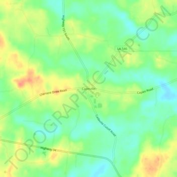
Name: Cadeville topographic map, elevation, terrain.
Location: Cadeville, Ouachita Parish, Louisiana, United States (32.40904 -92.35903 32.44904 -92.31903)
Average elevation: 44 m
Minimum elevation: 24 m
Maximum elevation: 69 m
Thank you for supporting this site ❤️
Make a donation
Make a donation
Other topographic maps
Click on a map to view its topography, its elevation and its terrain.