
Moyotepec (Moyotepec de Juárez) topographic map
Interactive map
Click on the map to display elevation.
About this map
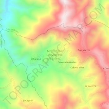
Name: Moyotepec (Moyotepec de Juárez) topographic map, elevation, terrain.
Average elevation: 2,328 m
Minimum elevation: 1,940 m
Maximum elevation: 2,682 m