
Thank you for supporting this site ❤️
Make a donation
Make a donation
Myrniong topographic map
Click on the map to display elevation.
Thank you for supporting this site ❤️
Make a donation
Make a donation
About this map
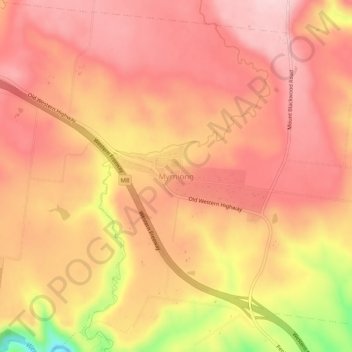
Name: Myrniong topographic map, elevation, terrain.
Location: Myrniong, Shire of Moorabool, Victoria, 3341, Australia (-37.63972 144.32720 -37.59972 144.36720)
Average elevation: 418 m
Minimum elevation: 261 m
Maximum elevation: 481 m
Thank you for supporting this site ❤️
Make a donation
Make a donation