
Paray topographic map
Interactive map
Click on the map to display elevation.
About this map
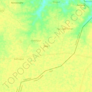
Name: Paray topographic map, elevation, terrain.
Location: Paray, Shekhpur, Rajakhera Tehsil, Dhaulpur, Rajasthan, Indien (26.88291 78.22830 26.92291 78.26830)
Average elevation: 162 m
Minimum elevation: 145 m
Maximum elevation: 166 m