
Emmerleff topographic map
Interactive map
Click on the map to display elevation.
About this map
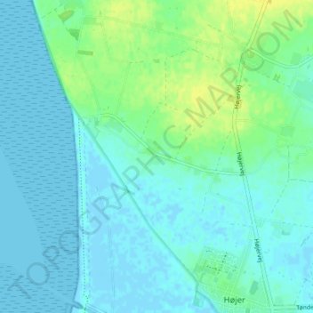
Name: Emmerleff topographic map, elevation, terrain.
Location: Emmerleff, Kommune Tondern, 6280, Dänemark (54.96208 8.65774 55.00208 8.69774)
Average elevation: 5 m
Minimum elevation: -3 m
Maximum elevation: 20 m