
La Goulette topographic map
Interactive map
Click on the map to display elevation.
About this map
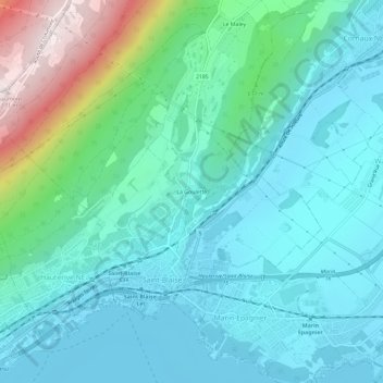
Name: La Goulette topographic map, elevation, terrain.
Location: La Goulette, Saint-Blaise, Neuchâtel, 2072, Suisse (47.00228 6.97247 47.04228 7.01247)
Average elevation: 576 m
Minimum elevation: 422 m
Maximum elevation: 1,178 m