
Masasi topographic map
Interactive map
Click on the map to display elevation.
About this map
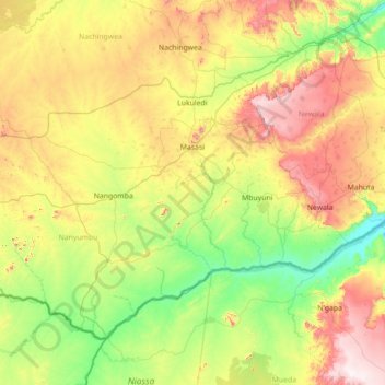
Name: Masasi topographic map, elevation, terrain.
Location: Masasi, Mtwara, Coastal Zone, Tanzania (-11.41941 37.97247 -10.36428 39.38149)
Average elevation: 346 m
Minimum elevation: 50 m
Maximum elevation: 1,000 m