
Tingleff topographic map
Interactive map
Click on the map to display elevation.
About this map
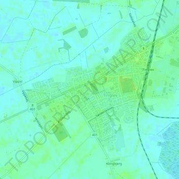
Name: Tingleff topographic map, elevation, terrain.
Location: Tingleff, Kommune Apenrade, Region Süddänemark, 6360, Dänemark (54.92307 9.22606 54.94181 9.26234)
Average elevation: 23 m
Minimum elevation: 19 m
Maximum elevation: 28 m