
Red Deer Lake topographic map
Interactive map
Click on the map to display elevation.
About this map
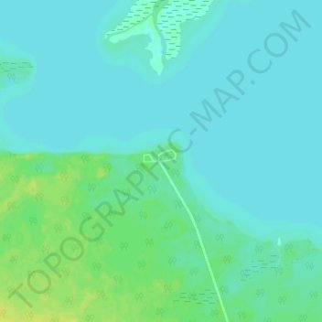
Name: Red Deer Lake topographic map, elevation, terrain.
Location: Red Deer Lake, Manitoba, Canada (52.87373 -101.48308 52.91373 -101.44308)
Average elevation: 262 m
Minimum elevation: 258 m
Maximum elevation: 274 m