
Lithonia topographic map
Interactive map
Click on the map to display elevation.
About this map
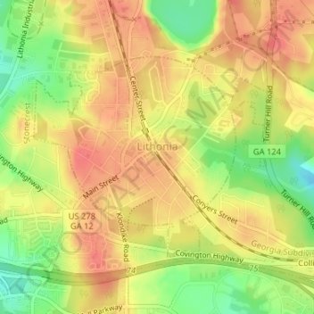
Name: Lithonia topographic map, elevation, terrain.
Location: Lithonia, DeKalb County, Georgia, United States of America (33.70280 -84.11795 33.72003 -84.09383)
Average elevation: 279 m
Minimum elevation: 244 m
Maximum elevation: 300 m