
Mühlau topographic map
Interactive map
Click on the map to display elevation.
About this map
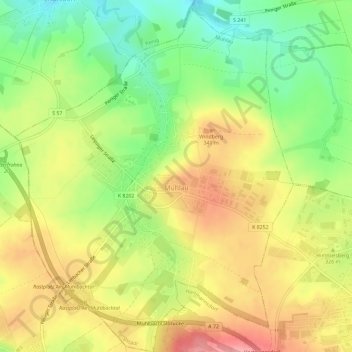
Name: Mühlau topographic map, elevation, terrain.
Location: Mühlau, Burgstädt, Mittelsachsen, Saxe, 09241, Allemagne (50.88291 12.74005 50.91948 12.78593)
Average elevation: 312 m
Minimum elevation: 258 m
Maximum elevation: 366 m