
El Puerto de Guararé topographic map
Interactive map
Click on the map to display elevation.
About this map
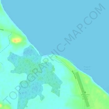
Name: El Puerto de Guararé topographic map, elevation, terrain.
Location: El Puerto de Guararé, Distrito Guararé, Los Santos, Panamá (7.86590 -80.28314 7.86600 -80.28304)
Average elevation: 4 m
Minimum elevation: 0 m
Maximum elevation: 28 m