
Thank you for supporting this site ❤️
Make a donation
Make a donation
Pine Lake Estates topographic map
Click on the map to display elevation.
Thank you for supporting this site ❤️
Make a donation
Make a donation
About this map
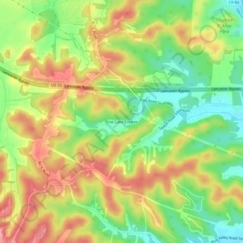
Name: Pine Lake Estates topographic map, elevation, terrain.
Location: Pine Lake Estates, Fairfield County, Ohio, United States (39.64229 -82.61850 39.68229 -82.57850)
Average elevation: 298 m
Minimum elevation: 239 m
Maximum elevation: 359 m
Thank you for supporting this site ❤️
Make a donation
Make a donation