
Aísa topographic map
Interactive map
Click on the map to display elevation.
About this map
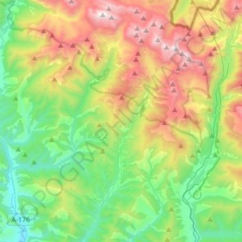
Name: Aísa topographic map, elevation, terrain.
Location: Aísa, La Jacetania, Huesca, Aragonien, Spanien (42.61971 -0.68215 42.79923 -0.51265)
Average elevation: 1,369 m
Minimum elevation: 680 m
Maximum elevation: 2,639 m