
Ebensfeld topographic map
Interactive map
Click on the map to display elevation.
About this map
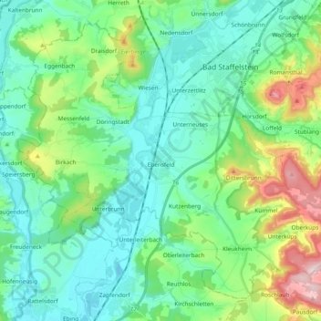
Name: Ebensfeld topographic map, elevation, terrain.
Location: Ebensfeld, Landkreis Lichtenfels, Beieren, 96250, Duitsland (50.01586 10.87473 50.11927 11.06239)
Average elevation: 315 m
Minimum elevation: 236 m
Maximum elevation: 568 m