
Oxbow Nature Study Area topographic map
Interactive map
Click on the map to display elevation.
About this map
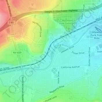
Name: Oxbow Nature Study Area topographic map, elevation, terrain.
Average elevation: 1,415 m
Minimum elevation: 1,377 m
Maximum elevation: 1,500 m
Other topographic maps
Click on a map to view its topography, its elevation and its terrain.
Valley Wood Park
United States > Nevada > Washoe County > Reno
Valley Wood Park, 6555, Reno, Washoe County, Nevada, 89523, United States
Average elevation: 1,546 m
North Valley
United States > Nevada > Washoe County > Reno
North Valley, Reno, Washoe County, Nevada, 89512, United States
Average elevation: 1,419 m