
Make a donation
Pernik topographic map
Click on the map to display elevation.
Make a donation
Pernik
Pernik is the second largest town in western Bulgaria. The town is located in the Pernik Valley. part of the ethnographic region of Graovo, at an altitude between 700 and 850 metres (2,297 and 2,789 feet), length of 22 kilometres (14 miles) and is surrounded by mountains Vitosha, Lyulin and Golo Bardo. Through the city flows the river Struma, which rises from Cherni Vrah – one of the largest rivers in the country with a total length of 2,290 over sea level. The total area is 28,863 acres (11,680 ha). Pernik is situated 30 kilometres (19 miles) southwest of the Bulgarian capital, Sofia. The territory of the town has many major roads, including Pan-European Corridor VIII and Pan-European Corridor IV – European route E79 /with Struma motorway and Lyulin motorway/, which connects Central Europe and Greece. Pernik has five railway stations and railway stops. The town lies close to one of the oldest trade routes in the Balkans, which ran from Sofia to Dubrovnik, via Skopje, Pristina, Sarajevo and Mostar.
Make a donation
About this map
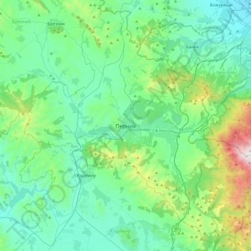
Name: Pernik topographic map, elevation, terrain.
Location: Pernik, 2300, Bulgaria (42.44922 22.87095 42.76922 23.19095)
Average elevation: 821 m
Minimum elevation: 533 m
Maximum elevation: 2,048 m
Make a donation