
Puerto Misahuallí topographic map
Interactive map
Click on the map to display elevation.
About this map
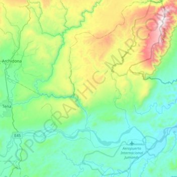
Name: Puerto Misahuallí topographic map, elevation, terrain.
Location: Puerto Misahuallí, Tena, Napo, Ecuador (-1.12079 -77.75489 -0.79815 -77.52775)
Average elevation: 679 m
Minimum elevation: 333 m
Maximum elevation: 1,695 m
Other topographic maps
Click on a map to view its topography, its elevation and its terrain.
San José de Chonta Punta
San José de Chonta Punta, Chonta Punta, Tena, Napo, Ecuador
Average elevation: 316 m