
Sumilon Island topographic map
Click on the map to display elevation.
About this map
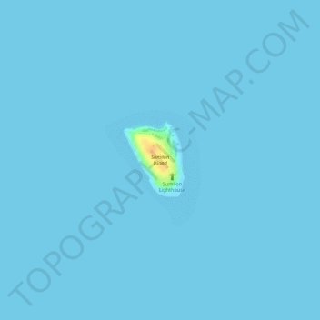
Name: Sumilon Island topographic map, elevation, terrain.
Location: Sumilon Island, Oslob, Cebu, Central Visayas, Philippines (9.42860 123.38641 9.43480 123.39164)
Average elevation: 0 m
Minimum elevation: 0 m
Maximum elevation: 34 m
Other topographic maps
Click on a map to view its topography, its elevation and its terrain.