
Okola topographic map
Interactive map
Click on the map to display elevation.
About this map
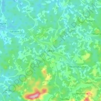
Name: Okola topographic map, elevation, terrain.
Location: Okola, Okala, Lekié, Centre, Cameroun (3.98411 11.34148 4.06411 11.42148)
Average elevation: 619 m
Minimum elevation: 546 m
Maximum elevation: 900 m